
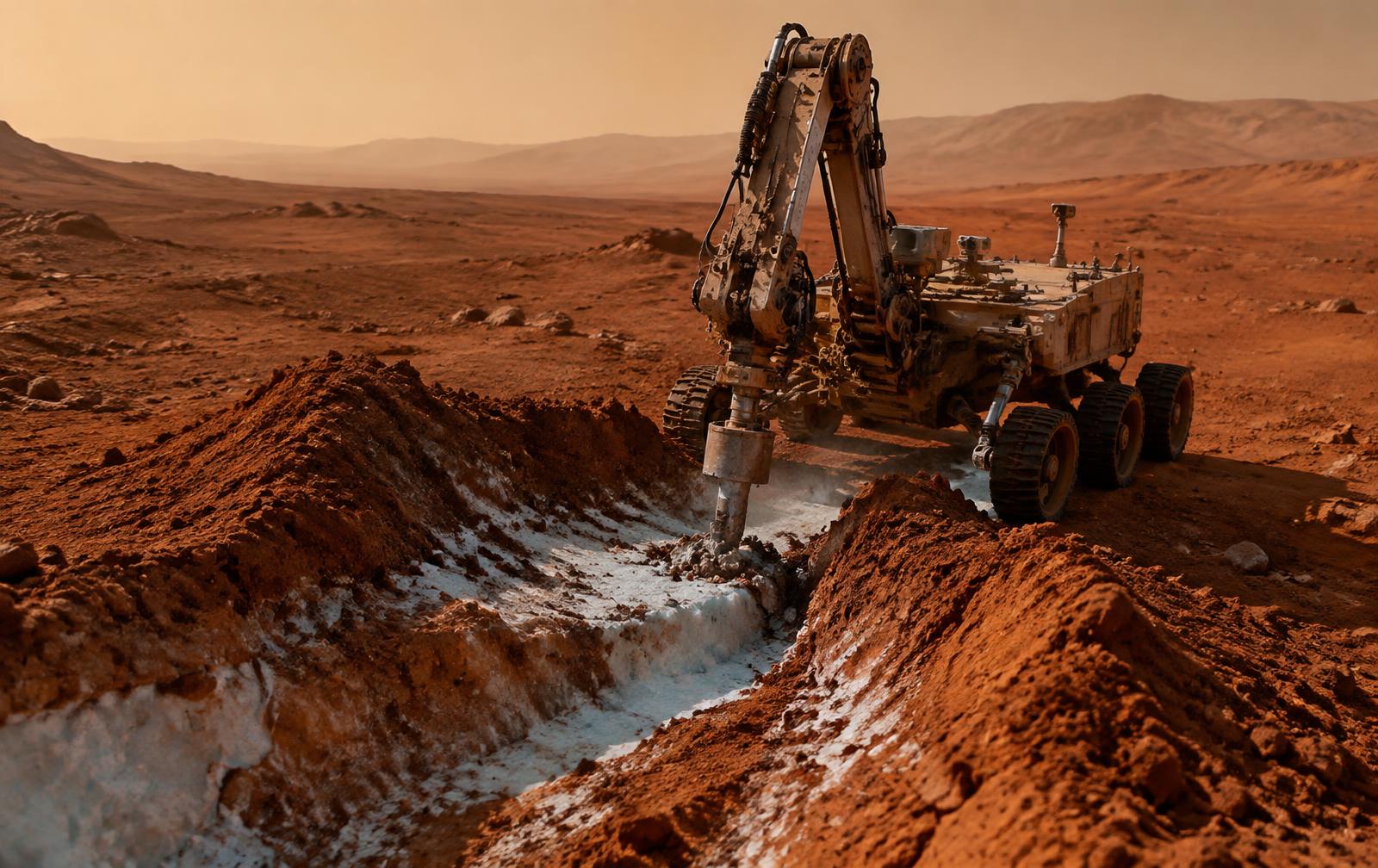
The resources a Mars mission depends on — water ice for life support and propellant, drillable regolith for construction — are underground and invisible from the surface. Subsurface Watch uses ground-penetrating radar, neutron spectrometry and AI interpretation to build a continuous map of what lies beneath, guiding drill site selection and protecting excavation crews from unstable ground.
- Ground-penetrating radar combined with neutron spectrometry
- Drilling-target identification and extent reconstruction
- Ground-stability analysis for excavation and foundation sites
- Volume and purity estimates to support ISRU sequencing
On-rig intelligence
Radar returns and neutron counts are correlated directly on the drilling rig. A promising ice signature is recognised on site, cross-checked against the subsurface model, and reported as a prioritised event with supporting data rather than a raw sensor dump.
Ice and resource mapping
Ground-penetrating radar profiles are cross-checked against neutron spectrometry readings. A subsurface layer consistent with water ice or hydrated minerals is flagged as a drilling target, and its extent is reconstructed from repeated passes.
Ground-stability analysis
Learned models recognise voids, loose fill and layering that indicate unstable ground beneath excavation and foundation sites — turning raw radar traces into interpretable go/no-go guidance for drill crews.
Protected and priority zones
Confirmed resource deposits, planned foundation sites and buried cabling are treated as tracked zones. Any unplanned excavation or drilling near a zone triggers a graded alert with supporting imagery.
ISRU planning support
Estimated ice volume, depth and purity per site are combined with extraction-rate models to help mission planners sequence which deposits to work first and how much water, oxygen or building material a given site can realistically supply.