
AI onboard
Sensor fusion, pattern recognition, event detection and prioritization directly on the robot.
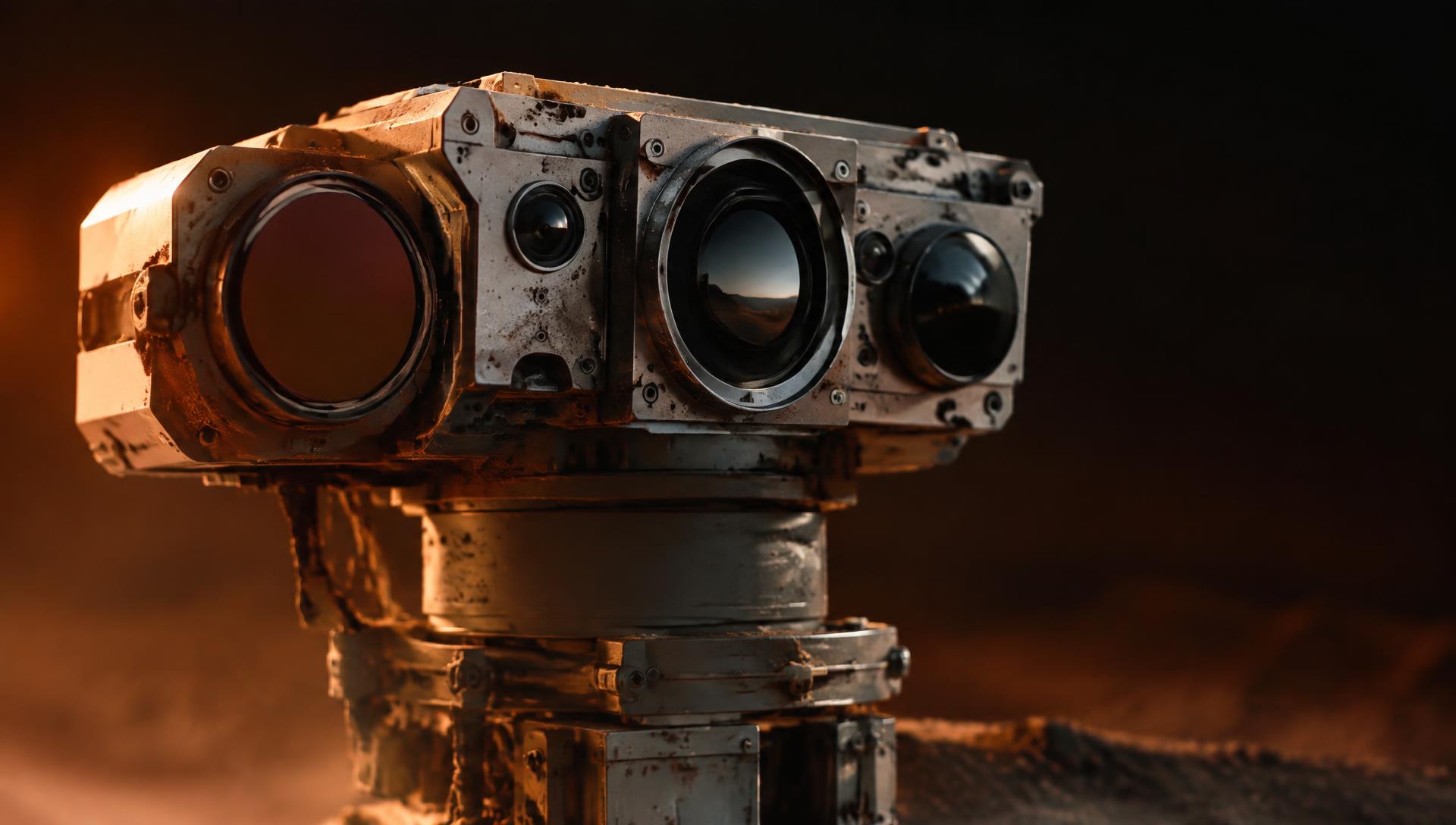
A full robotics stack, from actuator to autonomous fleet.
MARSBOTS combines vehicle dynamics, artificial intelligence, multi-sensor fusion and predictive analytics. We are developing autonomous robotic systems that process camera, lidar, radar and drilling data onboard and prioritize decision-relevant information.
From raw sensor data on the surface to prioritized information: the MARSBOTS architecture processes camera, lidar, radar and drilling data directly onboard, understands events on site and delivers only decision-relevant information to Earth.
Sensor data is fused, evaluated and prioritized directly onboard instead of being sent to Earth in full. Vehicle dynamics, physical constraints and deterministic models anchor these onboard results and keep them verifiable on ground.
Sensor fusion, pattern recognition, event detection and prioritization directly on the robot.
Vehicle dynamics, terrain models, deterministic calculations and physical constraints.
Confidence scoring per event, explainable risk, cross-checking on ground and human approval.
Three analytical layers work together: data fusion creates a reliable terrain picture, pattern recognition identifies relevant changes, and predictive analytics evaluates possible developments within physical constraints.
Machine learning examines terrain imagery, sensor signatures and drive history to identify recurring hazards, subtle slope changes and unusual events that would be difficult to isolate manually.
Terrain · hazard · classification
Radar, camera, lidar and telemetry observations are aligned in time, normalized and cross-checked. The result is one coherent terrain picture with source provenance and visible uncertainty.
Normalize · correlate · validate
Physics-constrained models project drive paths, compare candidate routes and update hazard corridors when new observations arrive. Operators see how a route may develop, not only where the robot is now.
Project · compare · anticipate
MARSBOTS is being developed as an autonomous system that processes camera, lidar, radar and other sensor data directly onboard robots on the Mars surface. The AI is intended to fuse observations, detect relevant events and prioritize the information that matters most for decisions.
Planned interfaces include REST API, real-time alerts, webhooks and data feeds for mission-control and fleet-operations systems. This integration capability is in development.
Talk to our team about integration