
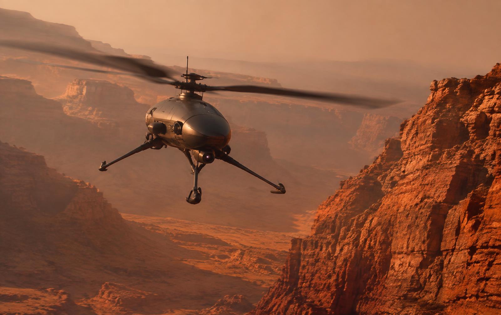
Aerial scouts extend a fleet's reach far beyond what ground rovers can cover, but the thin, dusty Mars atmosphere is unforgiving of surprises. Atmosphere Watch combines orbital imagery, local weather stations and AI forecasting into one atmospheric picture, so drone flights are scheduled around dust lifting, wind shear and visibility loss instead of into them.
- Orbital dust-storm tracking combined with local weather stations
- Dust-lifting and visibility forecasting ahead of the event
- Dust-devil and wind-shear warnings on planned flight paths
- Direct handover to flight planning and fleet coordination
On-scout intelligence
Local pressure, wind and optical-depth readings are fused and classified on board each aerial scout: developing dust activity is recognised in flight and transmitted as a prioritised, machine-readable event for flight planners before it grounds the fleet.
Atmospheric picture
Orbital dust-storm tracking closes the gaps between sparse ground stations. Local wind, pressure and temperature readings are fused with orbital imagery into a single, continuously updated atmospheric model with consistent coverage across the operating region.
Dust-lifting and visibility forecasting
Conditions that precede local dust lifting - pressure drops, thermal gradients, wind convergence - are flagged by behavioural models well ahead of the event, giving flight planners lead time rather than a sudden grounding.
Flight-hazard warning
Dust-devil corridors, wind shear near terrain features, and reduced-visibility windows are projected onto planned flight paths, giving operators a concrete, timed warning instead of a general advisory.
Protective coordination
Warnings are delivered to flight planning and fleet coordination with the geometry, timing and confidence behind them, so flights can be rescheduled, rerouted or grounded in time.