
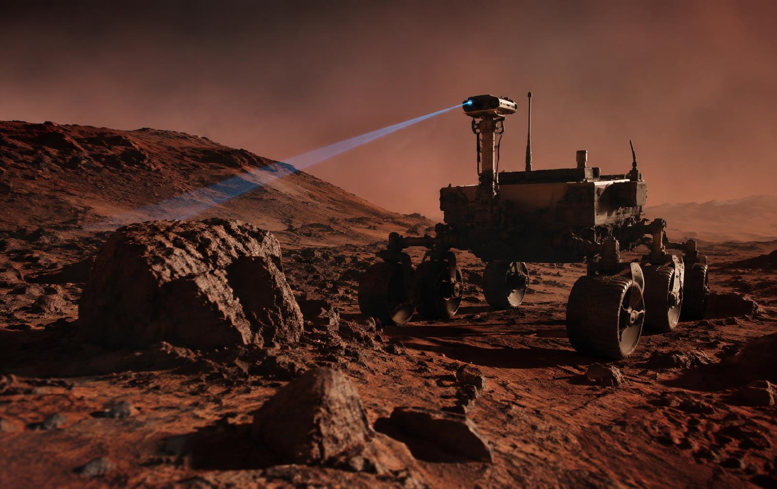
Terrain Watch is our permanent surface-mapping programme. Every rock, slope, crater rim and patch of loose regolith within a rover's operating radius is observed, classified and tracked over time, so fleet planners always know which routes are safe to drive and which cargo-drop zones remain clear.
- Terrain mapping from camera, lidar and odometry sources
- Uncertainty-aware traversability modelling
- Hazard detection and classification within minutes
- Live API and mission-control view for planning teams
On-rover intelligence
Camera and lidar returns no longer have to be streamed raw across the comms delay. Our AI runs directly on the rover: it matches new terrain against the existing map, recognises known hazards and flags genuine changes - fresh rockfall, dust deposits, subsidence - as prioritised events. Only these decision-relevant updates cross the 4–24 minute link, where mission planners verify every assessment.
Sensor fusion
Stereo cameras, lidar sweeps and wheel-odometry telemetry are fused into a single terrain model. Each measurement carries its own uncertainty, and our filters weight them accordingly instead of trusting a single sensor. The result is a map that stays accurate even when dust obscures a camera or a sensor drops out.
Traversability modelling and forecasting
Local terrain models are propagated forward with slope, grain-size and slip estimates, so route planners see not just what the ground looks like now but how it will behave under a loaded chassis. Confidence bounds travel with every prediction rather than a single misleading traversability score.
Hazard response
When a new hazard appears - a rockfall, a dust-covered crevice, an unstable slope - the programme switches into rapid-response mode: the hazard is mapped, bounded and classified within minutes, and affected rovers receive an updated route immediately.
Operator interface
Terrain maps, hazard flags and route updates are delivered through an API and a live mission-control view, so planners on Earth act on the same picture our on-board systems see, updated as fast as the delay allows.